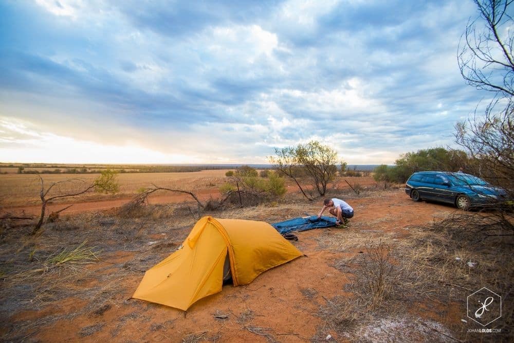
Australia is home to a plethora of beautiful hikes and trails that boast gripping views when you reach your destination. No matter what state in Australia you’re in, there’s no shortage of stunning natural beauty and scenic views to take in on your hiking trail. We’ve shortlisted some of our absolute favourites hikes around Australia that are perfect for both solo travellers and families – from the coast to the desert. Come explore with us!
Explore these 10 amazing trails
- Bouddi Coastal Walk
- Blue Gum Forest
- Mt Murdadjoog (Mt Abrupt)
- Tongue Point
- Scenic Rim Trail
- K’gari (Fraser Island) Great Walk
- Pinnacles Desert View Trail
- Hamelin Bay to Cosy Corner
- Kings Canyon Rim Walk
- Ormiston Pound Walk
Bouddi Coastal Walk
Central Coast, NSW
This coastal walk runs from Putty Beach to MacMasters Beach, so don’t forget your swimmers for the hot days so you can have a refreshing dip at Maitland Bay! This walk is loved for its variety of views including shady rainforests, the ocean and perfect picnic spots. If you’re lucky enough you might even spot the migrating whales from Gerrin Point Lookout and some wildflowers blooming along with PS Maitland Shipwreck at the eastern end of Maitland Bay.
This walk is a moderate level but it does include some sections with climbing up and down stairs between the cliff tops and bays. If you are looking for some easier walks but still want to enjoy the scenery, you can walk sections of the trail like Putty Beach to Maitland Bay or Maitland Bay to Little Beach. That’s what makes this walk perfect, it has something to offer all levels of difficulty!
DISTANCE: 8.5km One-way
DIFFICULTY: Moderate
BEST TIME: All Year
Blue Gum Forest
Blue Mountains National Park, NSW
Blue Gum Forest boasts a vast history after being saved from being axed down in 1932. It now possesses a very high ranking in the bushwalking world where you can experience beautiful birds and wildlife all around you whilst being immersed within the huge trees.
First and foremost, make sure you pack all your essentials as this is a long hike – be sure to have plenty of water, a hat, sun cream and be sure to tell someone where you are heading prior to heading into this hike. This forest can be accessed from Perrys lookout where you will descend the steep track and pass a large swamp before tackling your way down the steep cliff line. Continue to follow the track until you arrive at the Blue Gum Forest where you will witness the beauty of the blue gums, from here you can make the journey back or you can continue to Acacia Flat Campground and pitch a tent for the night. Be sure to take your time and take in all the views!
DISTANCE: 4km
DIFFICULTY: Hard
BEST TIME: All year, but can close due to bad weather or fire danger.
MT MURDADJOOG (MT ABRUPT)
Grampians, VIC
Mount Abrupt is a steep hike that is for seasoned hikers. This track winds all the way through the Grampians bushland and up sandstone rocks to a summit. This trail starts in the Mt Abrupt car park and then proceeds to the steep climb to the southern tip. Once you have arrived at the summit you will then take in the amazing views of the Serra Range to the north and Dunkeld to the south.
If you are lucky you might spot a wedge-tailed eagle or a peregrine falcon as this track is known for its bird watching opportunities!
The Grampians has a lot of different hikes to offer around the national park ranging from 2 hours to 3-day hikes, take your pick and enjoy the adventure!
DISTANCE: 6.5 km
DIFFICULTY: Hard
BEST TIME: March – October
Tongue Point
Wilsons Promontory, VIC
The Tongue Point trail starts along the Darby River section, which is accessible by the River Car Park or the Saddle Car Park. The 5.6km Tongue Point trail is surrounded by big gum trees and is classified as a grade 4 hike. Once you get through the trees surrounding you, there will be an opening for you to embrace a spectacular view from the Sparkes Lookout which will give you your first taste of the views to come. There are lookout points located all along the trail, so be sure to stop at each one and have a breather whilst look at the gorgeous water.
Once you arrive at Tongue Point you will see a collection of uniquely shaped boulders that you will view in awe. Be sure not to forget your swimmers so you can go for a swim in the crystal-clear waters Tongue Point has to offer.
DISTANCE: 12 km
DIFFICULTY: Moderate
BEST TIME: All year! August – October for whale spotting
Scenic Rim Trail
Brisbane, QLD
This is one for the experienced hikers that want to challenge themselves to a camping hike. Located in the South East of Queensland’s Main Range National Park, this hike is famous for its amazing collection of mountains, ridges, forests and ancient volcanic plateaus. This is a guided trail, so the guides will lead you through the region and will take you through private properties like Spicers Peak Station which is a 2,800-hectare nature reserve.
The great thing about this track is you can choose to go as far or as short as you choose with different starting point options.
This 4-day hike will start at Mt Mitchell to Miller Vale then Spicers Canopy to Spicers Peak Lodge and eventually make its way to the Northern Lookout on day 4.
DISTANCE: 33 km
DIFFICULTY: Moderate
BEST TIME: March to November
K’Gari (Fraser Island) Great Walk
Fraser Island, QLD
K’Gari Great Walk is located on Queensland’s wonderful Fraser Island. It will take you through breathtaking views and environments ranging from sandy beaches to lakes, then through forests that boast thousand-year-old trees.
This walk takes between 6-8 days to complete, a lot of the hikers take camping gear with them and stay in the campgrounds run by Queensland Parks and Wildlife Services which offer basic facilities. The Great Walk runs from Happy Valley then travel towards Dilli Village dropping into the Valley of Giants.
This walk is made up of mostly solid paths of compact sand with a leafy coverage with only a few steep sections. Be sure to take a map with you, it is mostly well signed however there are some sections that share with 4WD roads so be sure to stay on the track!
DISTANCE: 90 km
DIFFICULTY: Moderate
BEST TIME: March – May & September – November
Pinnacles Desert View Trail
Cervantes, WA
The Pinnacles Desert Trail is located in Nambung National Park, this is an easy and short walk that is a perfect way to break up your travels around WA. This is one of Western Australia’s most iconic landscapes, looping through limestone formations known as the Pinnacles. You can even do this just as a day trip from Perth!
DISTANCE: 1.2 km
DIFFICULTY: Easy
BEST TIME: May – November
Hamelin Bay to Cosy Corner
Margaret River, WA
This 13km return hike beings at Hamelin Bay which is known for its stingray sanctuary. Start your hike early so you can go and see the rays at feeding time before heading off. From Hamelin Bay, the trail continues inland for a slightly challenging climb to Foul Bay Lighthouse where you can stop and take in the views of the aqua blue waters. Next, you’ll continue past a lot of small rocky islands before arriving at the charming Cosy Corner beach. If you want more excitement, continue to the south of Cosy Corner for limestone rock platforms that boast blowholes with water spurting as high as 6 metres high when the sea is rough!
We recommend you book a campground in Hamelin Bay in advance as they get very booked out. Hamelin Bay Holiday Park is located right on the water and has a corner shop and full amenities, but very little phone signal.
DISTANCE: 13 km Return
DIFFICULTY: Moderate
BEST TIME: Summer
Kings Canyon Rim Walk
Watarrka National Park, NT
The King Canyon Rim walk gives you a birds-eye view of the desert landscape the NT has to offer. This one-way walk is marked with blue arrows, making it easy to stay on track. For moderately fit hikers, this hike will be no problem at all for you. For an easier option, there are shorter trails all around the canyon to accommodate for all.
When you are planning your trip to Kings Canyon, be sure to start your walk before 9 am, as temperatures can reach 36 degrees celsius and above on any day. Be sure to pack a lot of water, sun cream and fly protectors for your face as these critters can just ruin your whole day! Make sure you stay on the stairs and boardwalks along the track, this is for both your safety and to protect and respect the environment.
DISTANCE: 6 km
DIFFICULTY: Moderate
BEST TIME: May-August
Ormiston Pound Walk
Alice Springs, NT
The Ormiston Pound Walk can be accessed via Ormiston Gorge which is 135 km west of Alice Springs on a sealed road. This walk typically takes about 3-4 hours depending on how much stopping and exploring you do. This walk is surrounded by hills and ridges, most of it is through open terrain over rocky surfaces – so be sun prepared and have sturdy shoes.
The Ormiston Pound Walk can be done at any time of the year. The summer heat can be harsh, but this does make the cold waterhole very refreshing! Once you have crossed over the water hole you can continue along the creek bed back to Ormiston Gorge or via Ghost Gum walk which will provide beautiful views back through the gorge.
Take your time with this walk and drink lots of water!
DISTANCE: 9 km
DIFFICULTY: Moderate
BEST TIME: April – September
As you can see, no matter what state you are in there are lots of hikes for you to explore around Australia. We have only scraped the surface of some of the incredible trails Australia has to offer, the options are endless! We are ready to hit the hikes, are you? Don’t forget to check out our latest deals & specials on campervan hire in Australia.
About the Author
Bastian Graf
Bastian is the Sales & Marketing Manager here at Travellers Autobarn. He holds a Master of Commerce in Marketing and International Business Management, and 20+ years experience in campervan hire, road trips and travel.


